

SICK LMS111
SICK
The LMS111 laser measurement system provides robust indoor/outdoor range readings in a 2D field of view. SICK LMS lasers are rugged, accurate and reliable. They are the best choice for dealing with light interference or poorly reflective surfaces.
Range: 20 m.

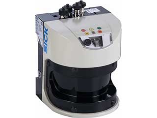
SICK LMS151
SICK
The LMS151 long-range laser measurement system provides robust indoor/outdoor range readings in a 2D field of view. SICK LMS lasers are rugged, accurate and reliable, and are the best choice for dealing with light interference or poorly reflective surfaces. Range: 50 m.
SICK LMS511
SICK
The LMS511 long-range, high resolution laser measurement system provides robust indoor/outdoor range readings in a 2D field of view. SICK LMS lasers are rugged, accurate and reliable, and are the best choice for dealing with light interference or poorly reflective surfaces. Range: 80m
SICK TIM551
SICK
The TIM551 small form factor laser measurement system provides robust indoor/outdoor range readings in a 2D field of view. SICK LMS lasers are rugged, accurate and reliable, and are the best choice for dealing with light interference or poorly reflective surfaces. Range: 10 m.
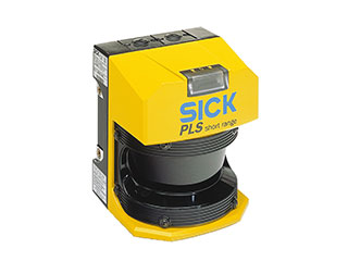
SICK S3000
SICK
The S3000 Safety Laser Scanner is a laser measurement system that provides robust indoor/outdoor range readings in a 2D field of view, as well as safety zone output. When the safety laser senses an object within a defined field of view, it will output a signal that can be used to flag a safety condition or halt a robot’s movement.
Range: 7 m
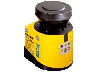
SICK S300
SICK
The S300 Safety Laser Scanner is a laser measurement system that provides robust indoor/outdoor range readings in a 2D field of view, as well as safety zone output. When the safety lasers sense an object within a defined field of view, it will output a signal that can be used to flag a safety condition or halt a robot’s movement.
Range: 3 m
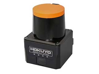
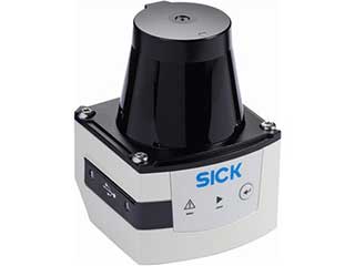
Hokuyo UST-10LX
Hokuyo
The UST-10LX is a scanning laser rangefinder that provides range readings in a 2D field of view. The Hokuyo lasers are compact and light, making them ideal for mounting on end effectors, aerial vehicles, or small mobile platforms. Range: 10 m.
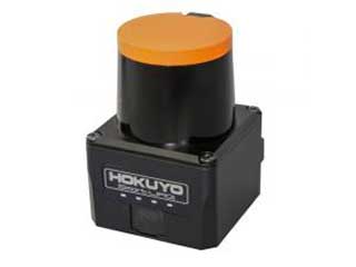
Hokuyo UST-20LX
Hokuyo
The UST-20LX is a scanning laser rangefinder that provides range readings in a 2D field of view. The Hokuyo lasers are compact and light, making them ideal for mounting on end effectors, aerial vehicles, or small mobile platforms. Range: 20 m.
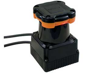
Hokuyo UTM-30LX
Hokuyo
The UTM-30LX is a scanning laser rangefinder that provides range readings in a 2D field of view. The Hokuyo lasers are compact and light, making them ideal for mounting on end effectors, aerial vehicles, or small mobile platforms. Range: 30 m.
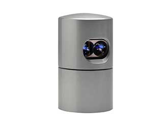
Velodyne HDL-64E S2
Velodyne
3D Laser Scanner – Specifically designed for obstacle detection and navigation of AGVs, this model features a 360° field of view and over 1.3 million points per second output rate.
Range: 120m.
Velodyne HDL-32E
Velodyne
3D Laser Scanner – Features 32 lasers across a 40° field of view that rotate to reveal 360° horizontally. Generates a point cloud of 700,000 points per second. Range: 70m.
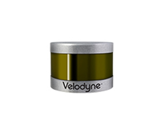
Velodyne VLP-16
Velodyne
An extremely light, compact 3D sensor, this puck features 16 beams, providing 300,000 data points per second with a 360° field of view.
Range: 100m+
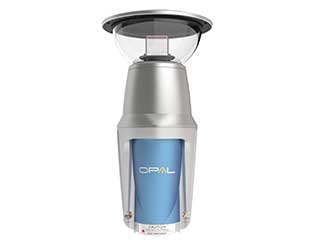
Neptec OPAL 360
Neptec
Obscurant penetrating LiDAR specifically designed for harsh environments. Penetrates dust, smoke, rain and snow with a 360° field of view.
Range: 2.7 km
Neptec OPAL 120
Neptec
Obscurant penetrating LiDAR specifically designed for harsh environments. Penetrates dust, smoke, rain and snow with a 120° field of view.
Range: 4 km
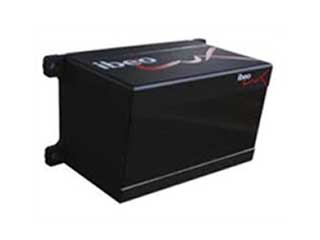
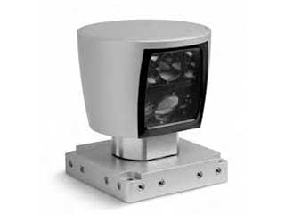
Ibeo LUX-8
Ibeo
3D laser scanner designed for motorway navigation and pedestrian detection. Works well at high speeds, in poor weather conditions and heavy traffic.
Delphi Electronically Scanning Radar
Delphi
ESR combines a wide field of view at mid-range with long-range coverage. Supports lane navigation, vehicle and pedestrian detection.
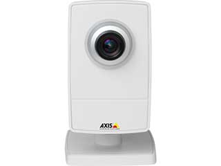
Axis M1013 Network Camera
Axis
The M1013 offers cost-effective video quality at 30 frames per second in SVGA resolution. Provides multiple individually configurable video streams in H.264 and Motion JPEG.
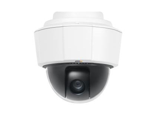
Axis P5512e PTZ Dome Camera
Axis
This weather-proof dome camera features 360° pan with 12x optical zoom and H.264 video stream. It has IP66- and NEMA 4x-rated protection against dust, rain and snow.
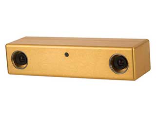
Point Grey Bumblebee BB2
Point Grey
This compact stereo camera is popular within the research community. It offers 2 640×480 colour CCD cameras separated by a 12 cm baseline. Stereo cameras are used for 3D mapping, object recognition and navigation. Can be mounted on a pan-tilt unit to increase coverage.
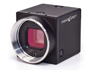
Point Grey Flea3
Point Grey
A high quality, compact mono-lens camera for advanced machine vision research. This 1.2 megapixel color camera offers a high frame rate, global shutter, and good dynamic range characteristics.
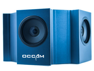
Occam Omni 60
Occam
Omni 60 combines 5 camera sensors to capture 360° panoramic video at 60Hz, for applications including localization and mapping, telepresence, videography, augmented reality, and surveillance. Available in monochrome or color.
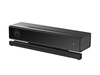
Microsoft Kinect 2
Microsoft
Kinect 2 is an integrated sensor suite designed for the Xbox one gaming platform. The sensor includes a time of flight camera, 1080p resolution video camera and microphone. Kinect 2 can be used for tracking people and objects and requires considerable computing power.
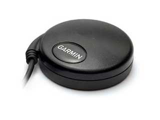
Garmin GPS-18x 5Hz
Garmin
A small, cost-effective GPS sensor that offers 5Hz position and velocity reports. Features 12-parallel-channels and is WAAS-enabled.
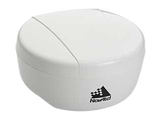
NovAtel SMART6-L 2 cm L1/L2
NovAtel
The rugged SMART6 antenna with integrated receiver allows for 1.2m accuracy positioning using both the L1 and L2 signal bands across multiple constellations. The unit supports LBAND satellite based corrections from the TERRASTAR-D subscription service at additional cost.
NovAtel SMART6-L 2 cm L1/L2 RTK Terrastar Rover Unit
NovAtel
The rugged SMART6 antenna with integrated receiver allows for 1.2m accuracy positioning using both the L1 and L2 signal bands, and is enabled to receive RTK (RealTimeKinetic) corrections from a Clearpath base station or other source. RTK accuracy: 2 cm after signal fix.
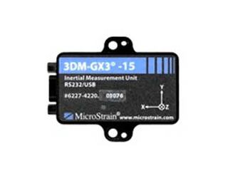
MicroStrain 3DM GX3-25
MicroStrain
A high-accuracy attitude heading reference system that utilizes MEMS sensor technology. The sensor combines a triaxial accelerometer, gyro and magnetometer, temperature sensors and on-board processor. Inertial measurement data is typically incorporated into pose calculations to improve localization estimation.
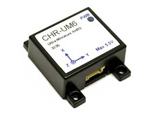
CH Robotics UM-6
CH Robotics
The low-cost UM-6 inertial measurement unit provides orientation measurements using Euler Angles and quaternions. Also reports raw and processed sensor data from accelerometers, rate gyros and magnetic sensors. Can interface with external GPS.
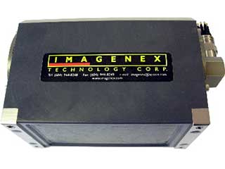
Imagenex DeltaT Multibeam SONAR
Imagenex
DeltaT 837T Multibeam profiling sonar may be integrated with the Kingfisher USV to carry out research tasks ranging from hydrographic surveys to assisting in positioning underwater AUVs. Up to 300m depth with 260KHz transducers. The unit is mounted below the Kingfishers’ user bay to provide between 120 and 480 beams of echosounder data.
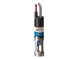
AML X-Series Velocity Profiler
AML
Used in conjunction with an echosounder to detect and record local variations in sound velocity. When used alongside a sonar on the Kingfisher, the Micro-X can assist in providing high accuracy bathymetry data by provided sound velocity corrections. Can be lowered from the USV to generate profiles over depth.
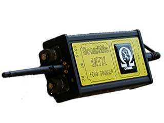
Ohmex SONARM8
Ohmex
SonarM8 single beam echosounder is used to generate survey quality depth data when coupled with a high grade GPS system. It functions at 235Khz with a beam-width of 10 degrees at depths up to 75m. The unit is mounted on a removable plate below the user bay of the Kingfisher.
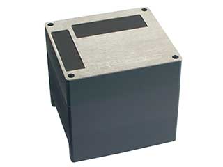
Applanix 2020 Multibeam SONAR
Applanix
The R2 Sonic and integrated Applanix Wavemaster GNSS-INS provide a survey grade mutlibeam-echosounder solution for the Kingfisher. Carry out harbor or coastal terrain mapping at up to 120m depth with 130° swath coverage and 256-1024 beams of echosounder data.